Herefordshire ward profiles
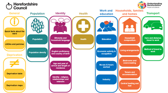
Ward profiles provide a range of demographic, social and economic information about each of Herefordshire’s wards and the areas within them.
Unsure of your ward of interest? Click Administrative map to search by address.
Access the latest ward profiles here
This version currently contains data from the Census 2021 and the English indices of deprivation 2019, provided mostly in the form of tables. Future iterations of the profiles will include data from a wider range of sources and dates and more visual representations of the data in the form of charts and maps.
Visit the Office for National Statistics’ Census webpage for access to the raw data and further resources, including interactive maps that allow you to compare Herefordshire to the rest of England and Wales and a custom area profile builder to get data for other areas, for example, parishes or your own custom-built areas.
Census 2021 headline results for Herefordshire for a range of topics are available to download from the Census 2021 webpage.
Related topics
Related documents
Useful links
- Beryl bike share scheme (locations of bike bays)
- British Listed Buildings - Herefordshire
- Church of England - a church near you
- Herefordshire Wildlife Trust - nature reserves
- Planned road works on the National Highways road network
- National Biodiversity Network Atlas
- Natural England - designated sites view
- Police UK crime map
- Severn Trent Water - In my area
- UK flood warnings information
- Welsh Water - in your area
Where to find data about areas within Herefordshire
There are several other sources of information and data about local areas that would may also wish to explore. Use the link below to see a simple guide on how to find further facts and figures about areas in Herefordshire.
